Arbon.
Pictures of Arbon: its buildings and homesteads, the families who lived there, and the land patents that made the homesteads theirs. On the valley map: Scouted 1892; squatters' claims from 1893; year-round from the mid-1890s (accounts give winters from 1893–94 to 1896–97); homestead entries from 1901. 5 photographs · 8 land patents.
From the history of Arbon
The pictures in the original account of Arbon. Read it ↗
 View photograph ↗
Plowing with a horse team
From the Arbon area history; people and place not identified.
From: Arbon ↗Buildings, homesteads and farm life
In date order; undated ones last.
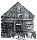 View photograph ↗
First home of George Arbon in Arbon Valley, 1895
Printed caption beside the photograph on a scanned page of a published local history; the archive does not name the book. Shown here cropped to the photograph.
From: Ezra Taft Andersen & Sarah Eveline "Eva" Arbon ↗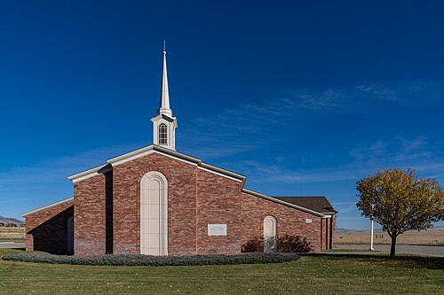 View photograph ↗
The Arbon LDS meetinghouse, 2022
Photograph by Tony Webster, 19 October 2022, from Wikimedia Commons. Licensed CC BY 2.0 (creativecommons.org/licenses/by/2.0).
Tony Webster, CC BY 2.0, via Wikimedia Commons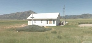 View photograph ↗
Arbon Bible Church
The photograph on the archive's Bible Church page (there by February 2010). The congregation dates from 1997; its building, the former Charles Allard home, from 2000.
From: Bible Church ↗Families at home
Family pictures the records place in Arbon.
 View photograph ↗
John C and Desina Andersen Family
John C and Desina Andersen Family
From: John C. & DeSena Andersen ↗Land patents
Federal patents to homesteads in Arbon, in date order.
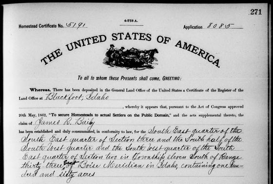 View photograph ↗
Homestead patent to James R. Bailey, 1907
Federal land patent signed 19 April 1907 (BLM serial IDIDAA 005257). Shown: the top of the first page.
Bureau of Land Management, General Land Office Records (public domain)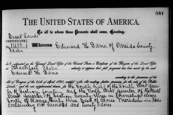 View photograph ↗
Desert Land Act patent to Edward H. Davis, 1907
Federal land patent signed 20 May 1907 (BLM serial IDIDAA 005259). Shown: the top of the first page.
Bureau of Land Management, General Land Office Records (public domain)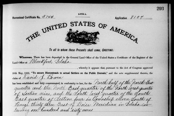 View photograph ↗
Homestead patent to David J. Bowen, 1907
Federal land patent signed 17 April 1907 (BLM serial IDIDAA 005256). Shown: the top of the first page.
Bureau of Land Management, General Land Office Records (public domain)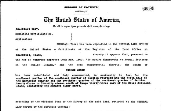 View photograph ↗
Homestead patent to George Arbon, 1909
Federal land patent signed 10 June 1909 (BLM serial IDBL 0000617). Shown: the top of the first page.
Bureau of Land Management, General Land Office Records (public domain)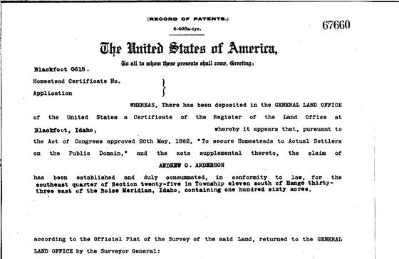 View photograph ↗
Homestead patent to Andrew O. (Otto) Anderson, 1909
Federal land patent signed 17 June 1909 (BLM serial IDBL 0000618). Shown: the top of the first page.
Bureau of Land Management, General Land Office Records (public domain)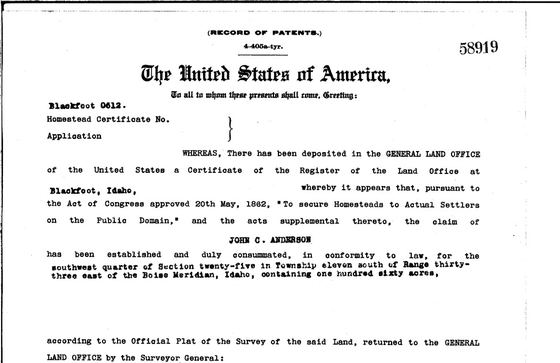 View photograph ↗
Homestead patent to John C. Anderson, 1909
Federal land patent signed 4 May 1909 (BLM serial IDBL 0000612). Shown: the top of the first page.
Bureau of Land Management, General Land Office Records (public domain)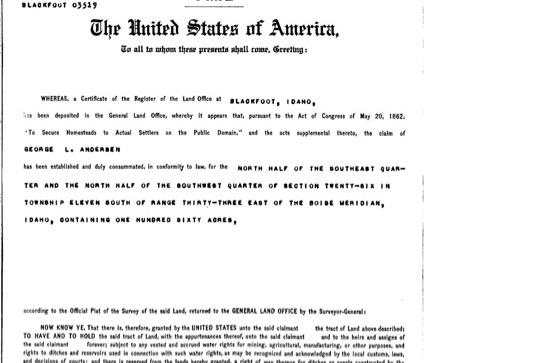 View photograph ↗
Homestead patent to George L. Andersen, 1912
Federal land patent signed 16 September 1912 (BLM serial IDBL 0003519) for the north half of the southeast quarter and the north half of the southwest quarter of Section 26, Township 11 South, Range 33 East: a strip one mile long and a quarter mile wide, just as George described it. Shown: the top of the first page.
Bureau of Land Management, General Land Office Records (public domain)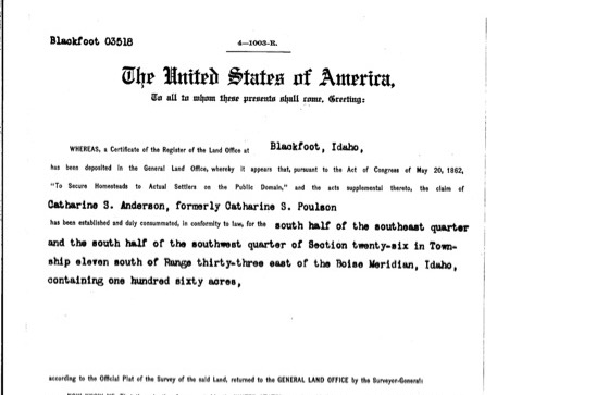 View photograph ↗
Homestead patent to Catharine S. Anderson, 1915
Federal land patent signed 27 April 1915 (BLM serial IDBL 0003518) to "Catharine S. Anderson, formerly Catharine S. Poulson," for the south half of the southeast quarter and the south half of the southwest quarter of Section 26: the mile-long strip adjoining George's on the south. Shown: the top of the first page.
Bureau of Land Management, General Land Office Records (public domain)Family albums from Arbon
The families the valley map places in Arbon.

Arbon family
George Dennis Arbon, Joseph Nicholas Arbon, Joseph George Arbon and 1 more
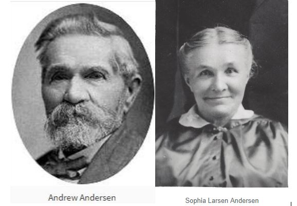
Andersen family
Andrew Andersen, Sophia Larsen Andersen, Andrew "Otto" Andersen and 17 more

Bailey family
James Richard Bailey, Annie Leishman Kerr Bailey, Lorenzo Hawkins "Ren" Bailey and 2 more
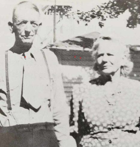
Davis family
Edward Henry Davis, Esther Rebecca Arbon Davis, Edward "Eddie" Arbon Davis and 1 more
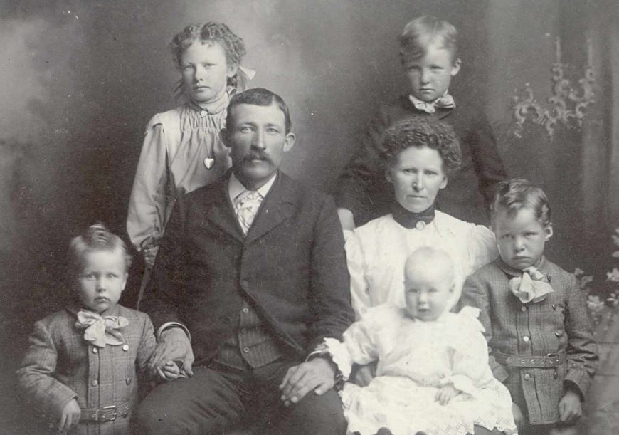
Ward family
Joseph W. Ward, Jesse Nicholas Ward, Julia Ann Moon Ward and 2 more
Bowen family
David John Bowen
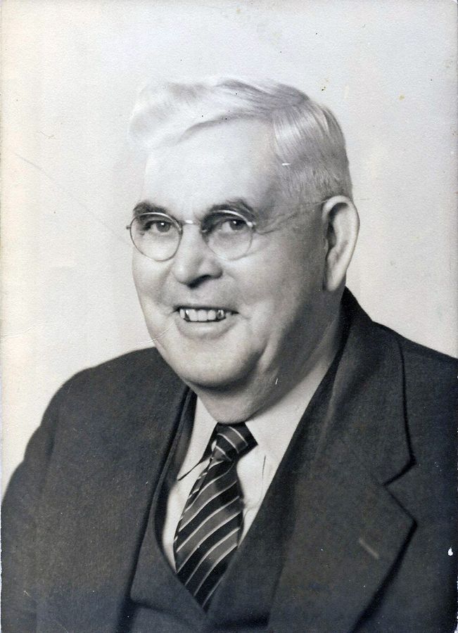
Gibbons family
John Aaron Roby Gibbons
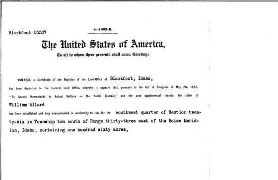
Allard family
William Allard

Evans family
Thomas Bowen Evans, Susannah Smith Evans, Lorenzo Bowen "Ren" Evans and 3 more
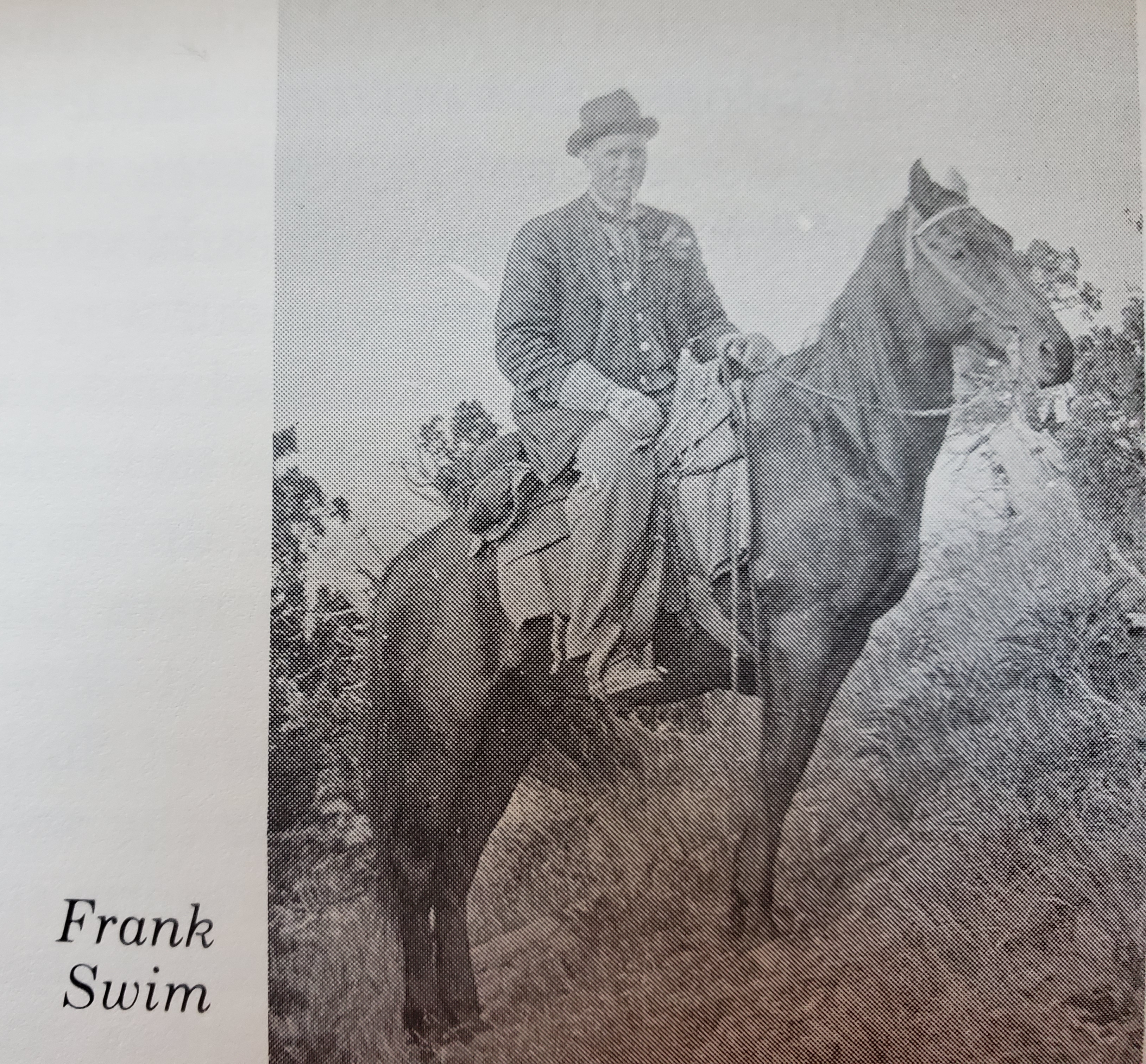
Swim family
Frank William Swim, John William "J. W." Butler
Help put names to these pictures.
Many of these photographs still need names, places and dates. If you know who is in one, open it and choose “Help identify this photograph”. If your family keeps photographs of the valley, the archive would love to see them.