Homestead patent to George L. Andersen, 1912
16 September 1912 · Land patent
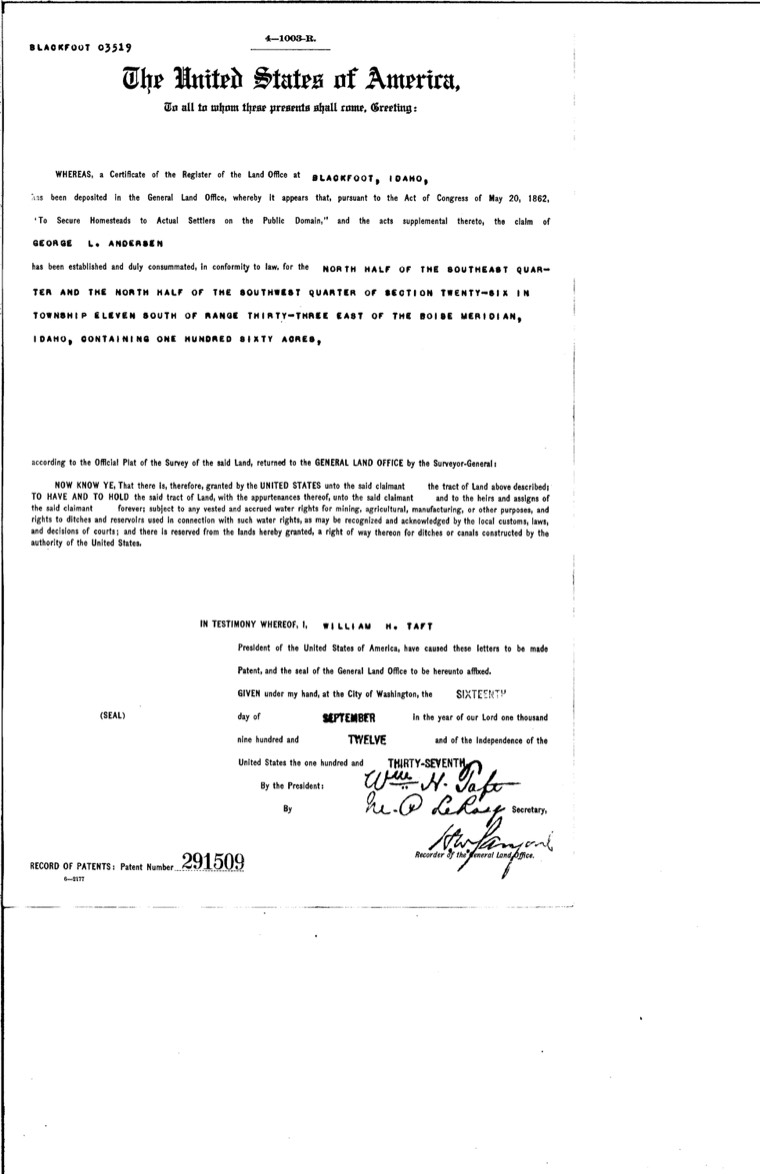
Federal land patent signed 16 September 1912 (BLM serial IDBL 0003519) for the north half of the southeast quarter and the north half of the southwest quarter of Section 26, Township 11 South, Range 33 East: a strip one mile long and a quarter mile wide, just as George described it. Shown: the top of the first page.
- When
- 16 September 1912
- Who
- George Lionel AndersenEach name opens the family on the valley map.
- Family
- Andersen family on the valley map ↗
- Where
- Arbon
- What
- Land patent
- Credit
- Bureau of Land Management, General Land Office Records (public domain)
- Record
- Bureau of Land Management, General Land Office Records — land patents ↗
- Albums
- Andersen family · Arbon · Documents, maps and family trees
Original record
Bureau of Land Management, General Land Office Records (public domain)
https://thelandpatents.com/patents/idbl--0003519
Original filename: patent-idbl-0003519-page.jpg
MORE FROM THIS ALBUM
See all 32 in the album ↗Andersen family
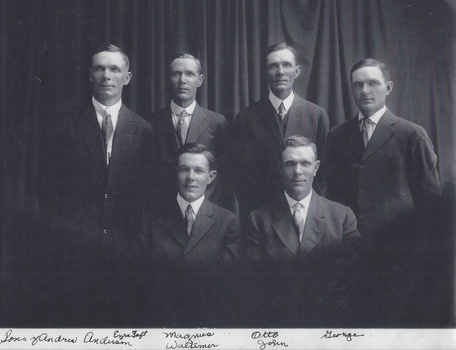 The sons of Andrew Andersen and Sophia LarsenDate unknown
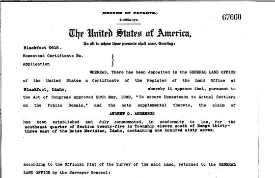 Homestead patent to Andrew O. (Otto) Anderson, 190917 June 1909
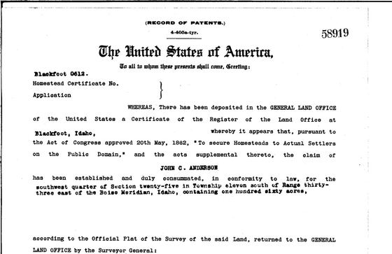 Homestead patent to John C. Anderson, 19094 May 1909
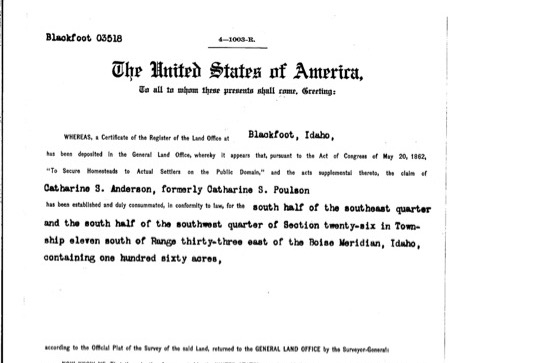 Homestead patent to Catharine S. Anderson, 191527 April 1915
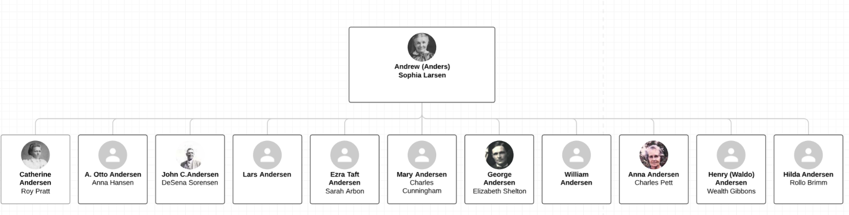 Family diagram from Andrew & Sophia AndersenDate unknown
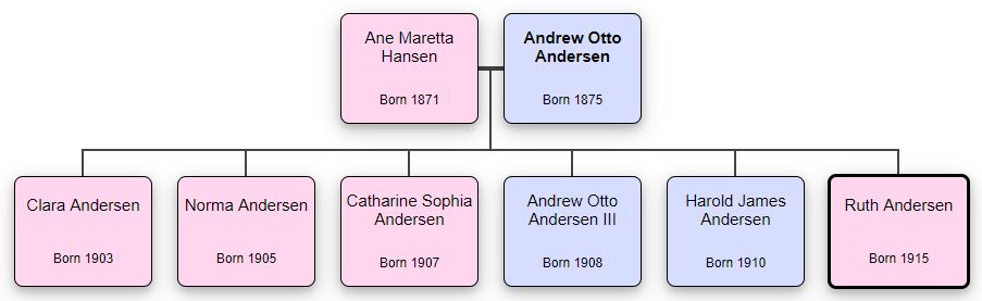 Family diagram from Andrew "Otto" AndersenDate unknown
MORE FROM THIS ALBUM
See all 13 in the album ↗Arbon
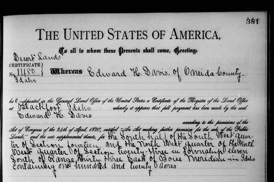 Desert Land Act patent to Edward H. Davis, 190720 May 1907
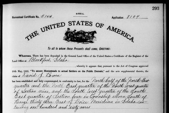 Homestead patent to David J. Bowen, 190717 April 1907
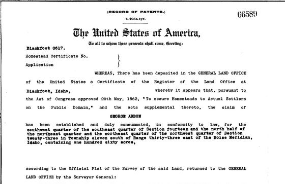 Homestead patent to George Arbon, 190910 June 1909Homestead patent to Andrew O. (Otto) Anderson, 190917 June 1909Homestead patent to John C. Anderson, 19094 May 1909Homestead patent to Catharine S. Anderson, 191527 April 1915
MORE FROM THIS ALBUM
See all 72 in the album ↗Documents, maps and family trees
Homestead patent to George Arbon, 190910 June 1909Homestead patent to Andrew O. (Otto) Anderson, 190917 June 1909Homestead patent to John C. Anderson, 19094 May 1909Homestead patent to Catharine S. Anderson, 191527 April 1915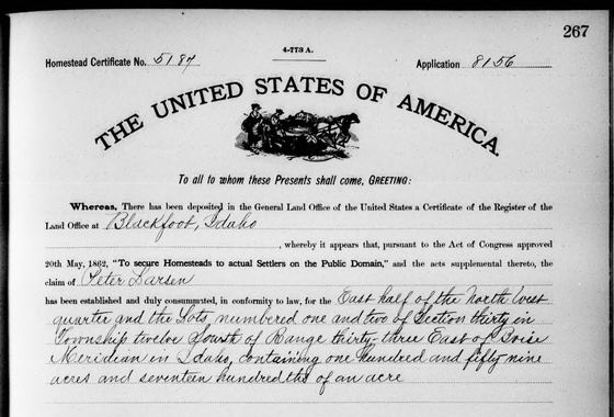 Homestead patent to Peter Larsen, 190719 April 1907
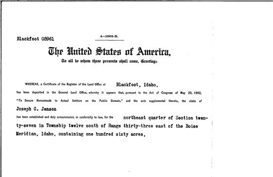 Homestead patent to Joseph C. Jenson, 191518 February 1915